
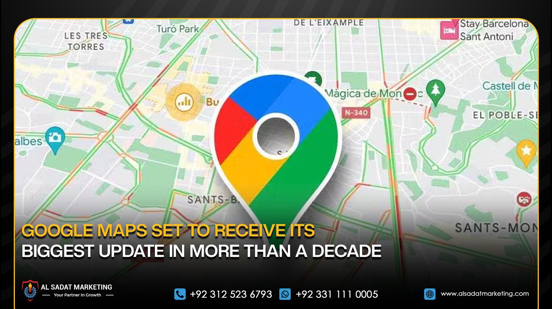
Google has announced new updates for Google Maps, introducing a conversational AI feature called “Ask Maps” along with an upgraded navigation system known as “Immersive Navigation.” The changes are designed to make navigation more interactive by combining AI-powered search with improved route visualization.
The new features aim to help users ask detailed questions about places, plan trips more easily, and receive clearer guidance while driving.

The “Ask Maps” feature is powered by Google’s Gemini AI model and allows users to ask questions in natural language. For example, people can ask where to charge their phone without waiting in long lines at a café or where to find a public tennis court with lighting available at night.
The feature can also assist with travel planning. Users visiting locations such as the Grand Canyon, Horseshoe Bend, or Coral Dunes can ask for recommended stops along their route. Google Maps will then suggest places to visit, along with directions and estimated travel times based on reviews and tips shared by other users.
Google said the AI can personalize responses by using signals from a user’s activity on Maps, such as previously searched locations or saved places. For instance, if someone often searches for vegan food, Ask Maps may suggest nearby restaurants offering vegan options.
Ask Maps is currently being rolled out in the United States and India on Android and iOS devices, with desktop support expected to arrive later.
Google has also introduced a redesigned navigation system called “Immersive Navigation.” This update provides a detailed 3D view of roads and surrounding areas, including nearby buildings, terrain, and overpasses.
The interface highlights important road details such as lanes, crosswalks, traffic lights, and stop signs to help drivers better understand their surroundings. Maps will also use smart zoom and transparent buildings to provide a wider view of the route, making upcoming turns and lane changes easier to see.
Voice guidance has also been improved to sound more natural. Instead of basic directions, the app may give more descriptive instructions, such as passing one exit before taking the next on a highway.
Google Maps will also provide insights into different route options, showing the advantages and disadvantages of each. For example, it may offer a longer route with less traffic or a faster route that includes toll roads.
The app will also alert drivers about possible disruptions along the route, including accidents or road construction, using data from both the Google Maps and Waze communities.
Before starting a trip, users will be able to preview their destination using Street View images and receive parking suggestions. As drivers approach their destination, the app will highlight building entrances, nearby parking areas, and which side of the street the location is on.
Miriam Daniel, Vice President of Google Maps, said the navigation system was redesigned to reduce uncertainty during trips by providing clearer visuals, timely information, and more intuitive guidance.